I took two days to drive from Sault Ste. Marie to Thunder Bay. At a minimum it’s 8 hours of driving…so maybe could be done in a day but I knew I was hoping to stop and see things along the way so I broke the trip into two days and overnighted in a little town called Marathon.


My first glimpse of Lake Superior


Chippewa Falls is the halfway point on the Trans-Canada Highway which runs from St. John’s, Newfoundland to Victoria, British Columbia. Of the Trans-Canada’s 8030kms, this stretch of road running along the North Shore of Lake Superior is considered to be among the most scenic stretches in Canada. However, this area around the halfway point was one of the most difficult and last to be constructed because of the rugged topography and the very hard granite rock.
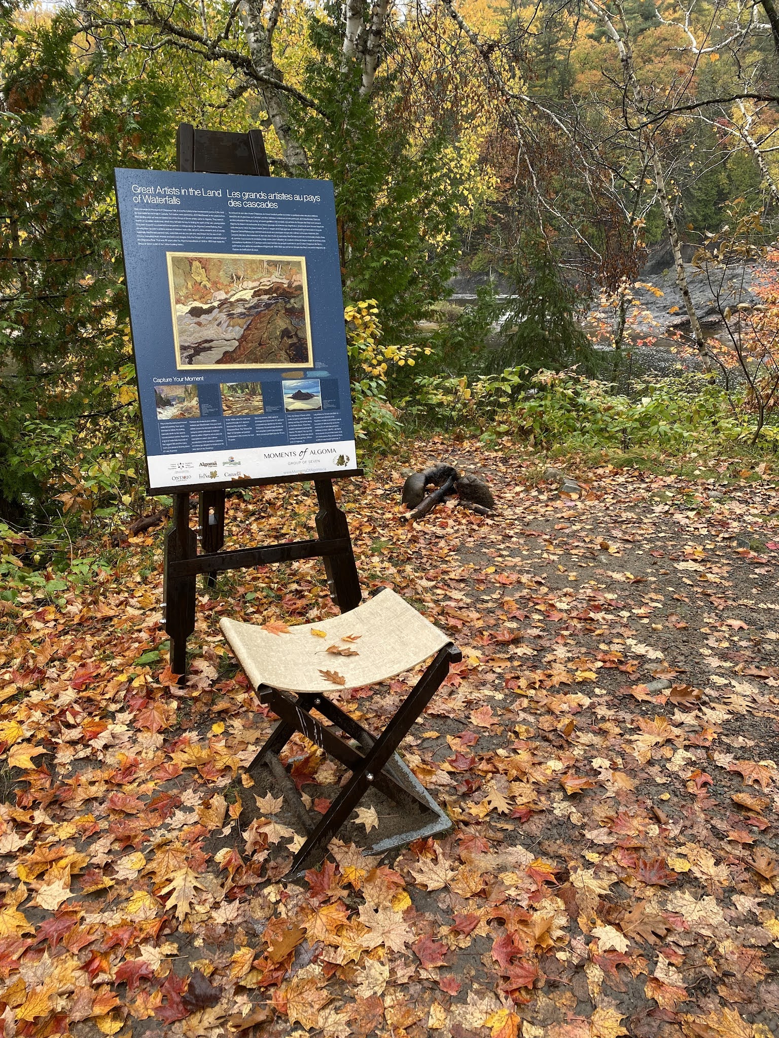
Canada’s Group of Seven made multiple trips to Algoma and the North Shore of Lake Superior starting in 1918, producing hundreds of paintings, outdoor sketches and moments of inspiration along the way. A series of interpretive panels can be found over about a 700kms stretch of the Trans-Canada highway, many of them at the locations that served as inspiration for members of the Group of Seven.

Chippewa Falls - where the Chippewa River falls about 20 metres over several sets of waterfalls.


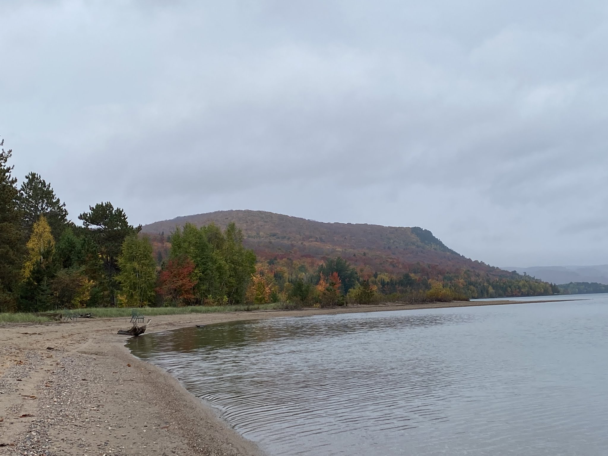
The beach at Pancake Bay Provincial Park


Exploring in the provincial park. Because it was so close to the end of the season there were very few people here and I was told I could ‘wander at will’.


Alona Bay - the resting place of one of the largest ships to sail Lake Superior. In 1975, in a wicked gale, the Edmund Fitzgerald, a 222 metre long iron ore carrier, sank with all 29 hands on board, about 30kms out from this shoreline.


Old Woman Bay in Lake Superior P.P.


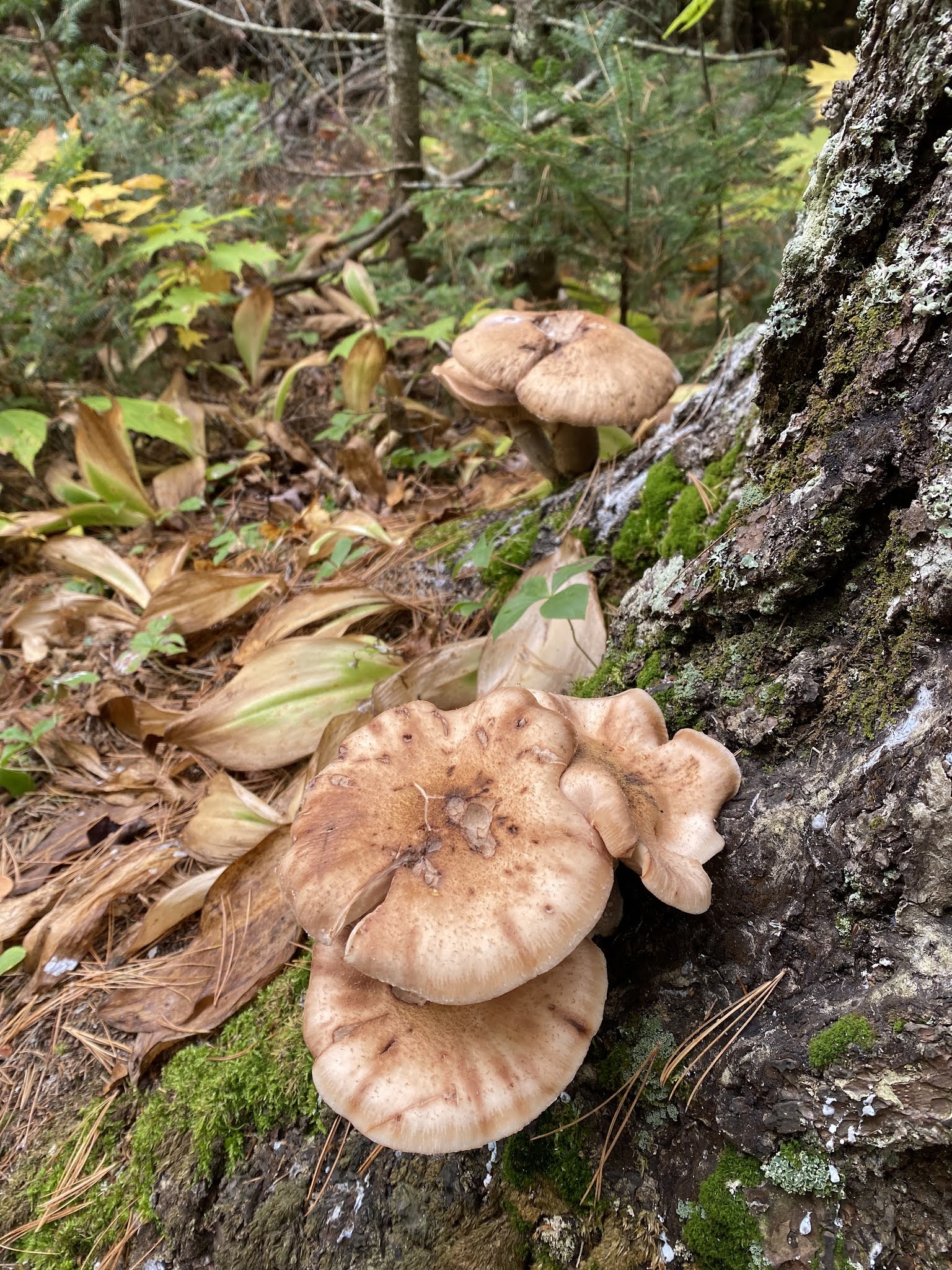
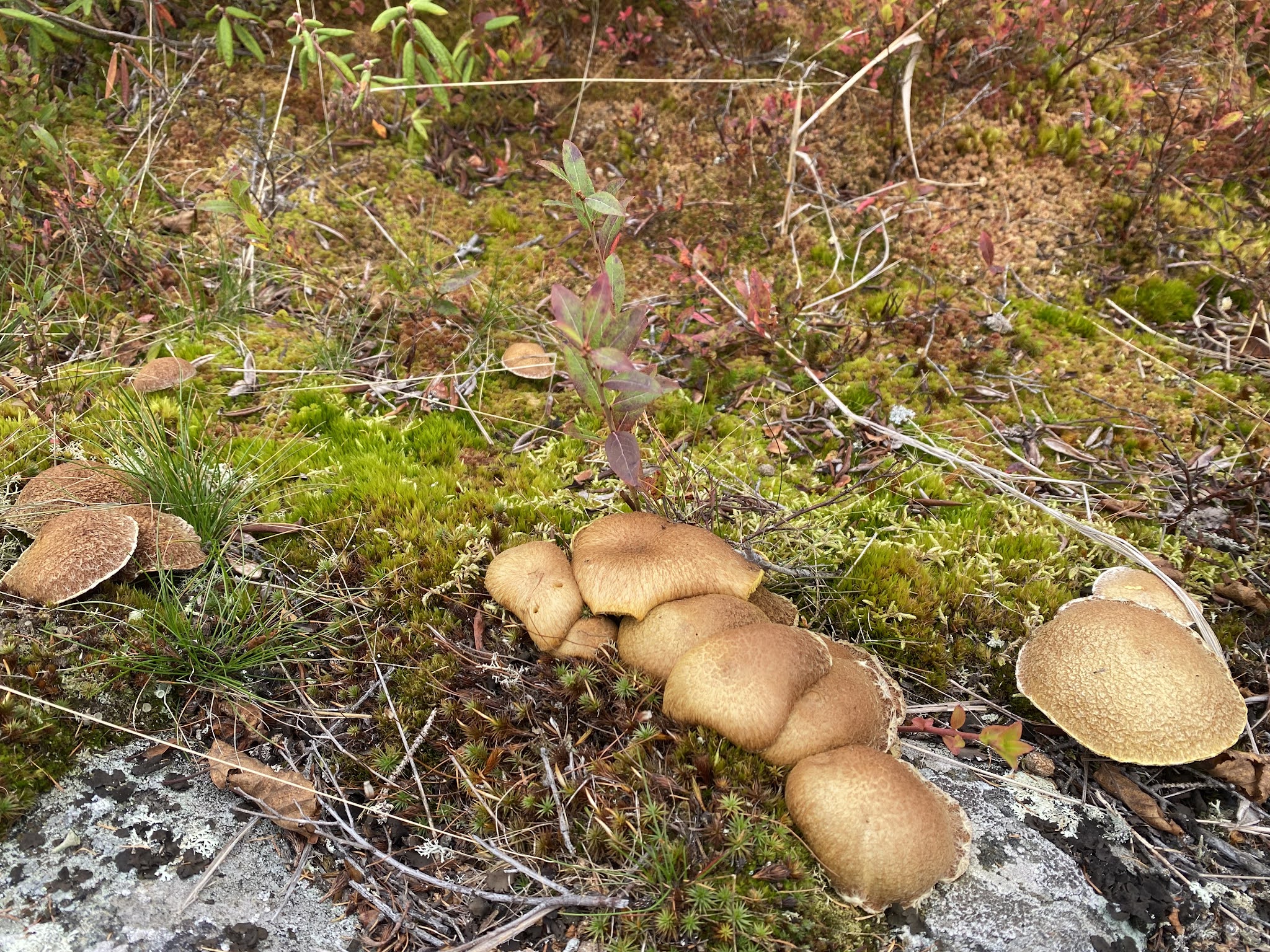
A little trail of white mushrooms leading to…???

Aptly named Pebble Beach in Marathon.


Can you spot the train? That would be a train trip I’d love to take!

And then the fog rolled in…unfortunately lasting for the whole rest of the day and making the rest of the drive to Thunder Bay a bit less than ideal.


Well how about that (pun on words there)…I’ve never seen this before.
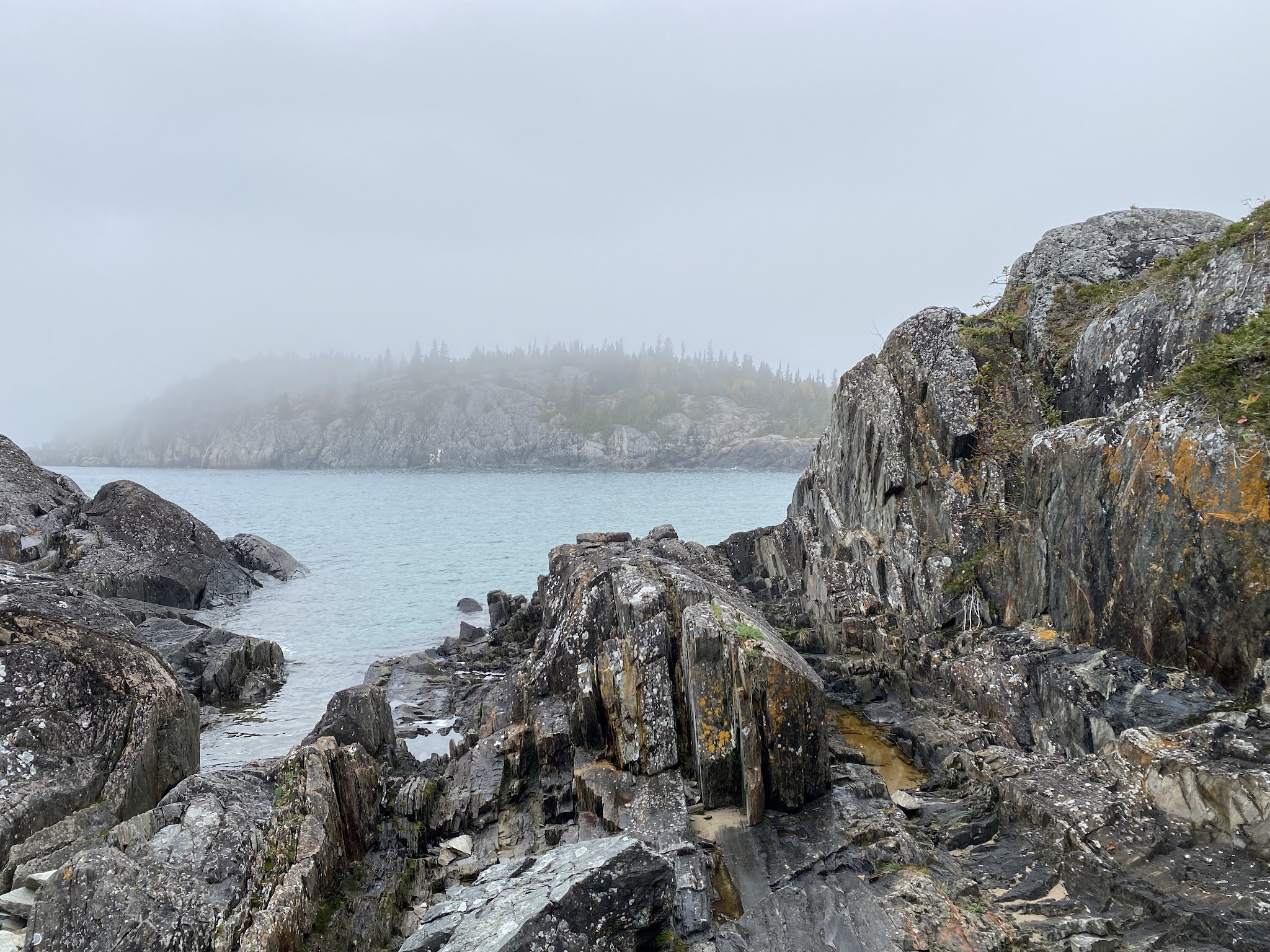
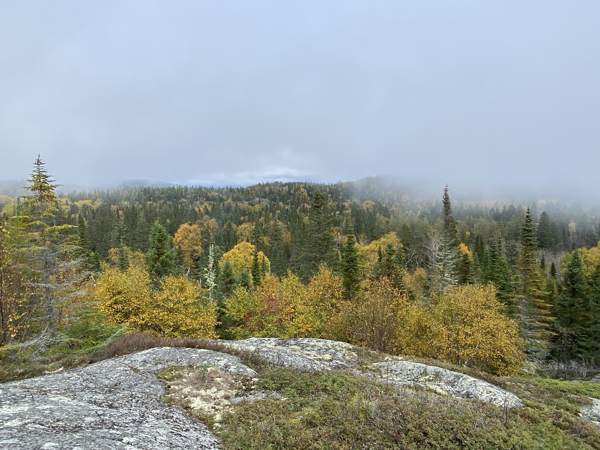
Despite the fog I still wanted to go to Pukaskwa National Park - and I’m awfully glad I did! Pukaskwa is Ontario’s largest national park and features the longest stretch of untouched, wilderness coastline remaining on the Great Lakes. Only a very small portion of this wonderful area is accessible by driving in - for the rest of it you have to be paddling!


I scared this little grouse while walking…it was quickly trying to get away from me.


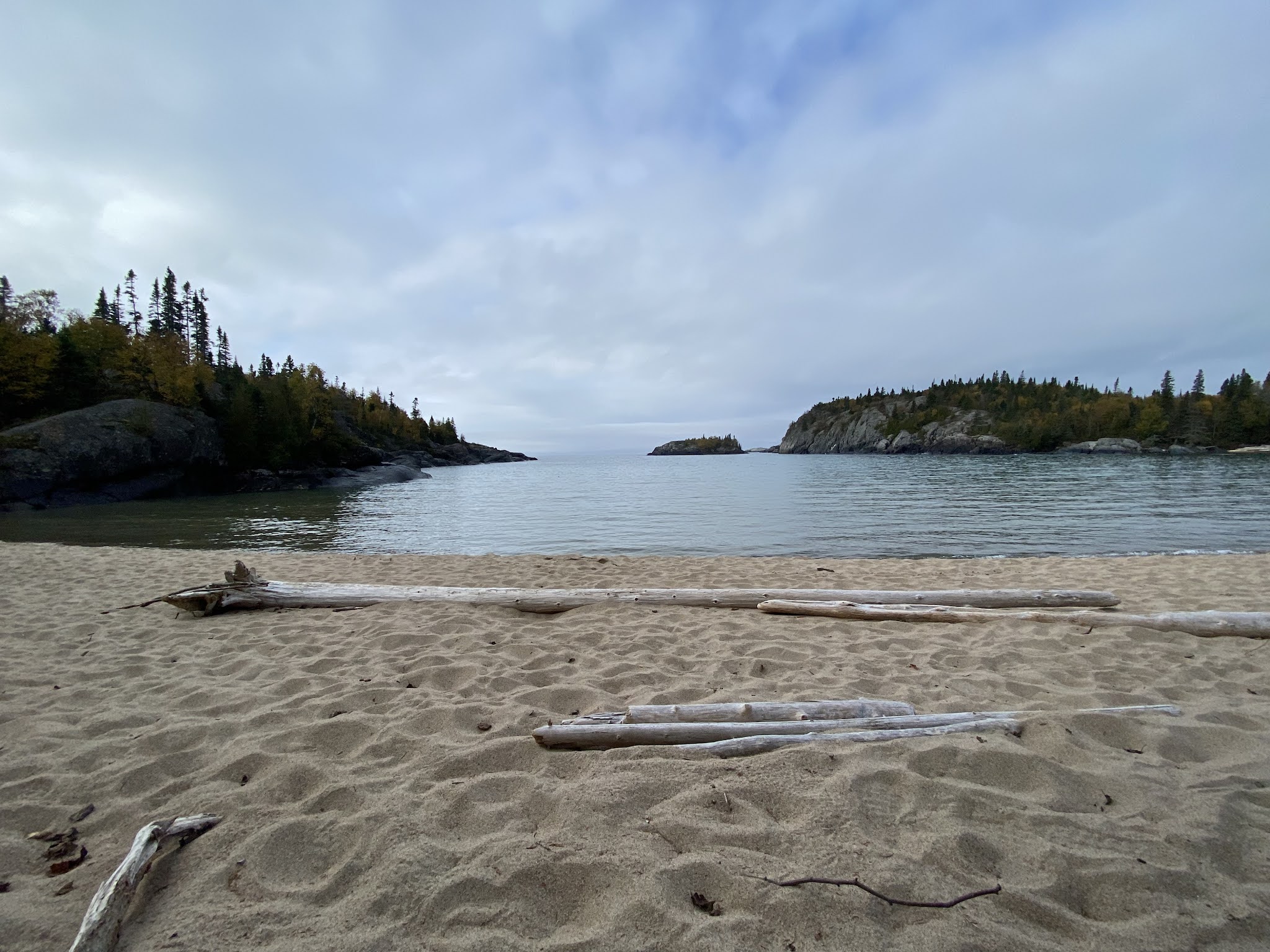

Here was my foray into Lake Superior. A calm lake and a sandy beach at Pukaskwa. It was good and cold - despite being a beautiful weather day there was no way I would have gone swimming. Just going into my knees was quite enough.


And here comes the fog again…


Here I am, feeling like I’m in the middle of nowhere and what do I find but a ‘lost’ hat!


I think this fellow and myself were the only two people in the park today… and he, like I, was just sitting, contemplating life, and watching the fog roll in over the view.


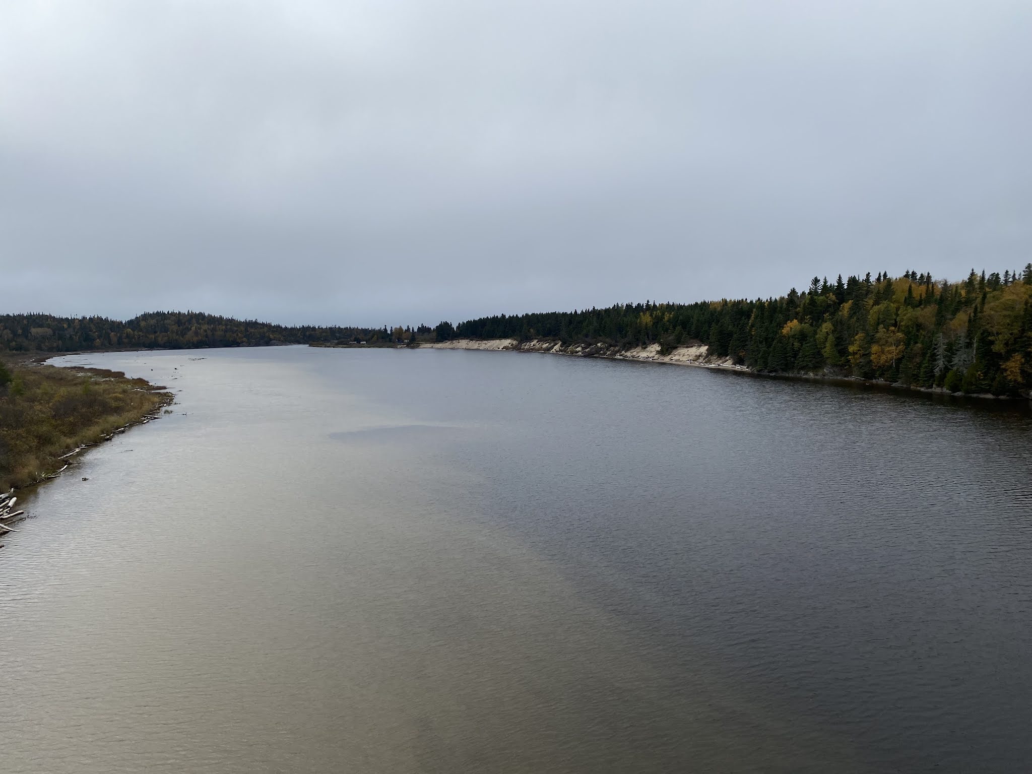
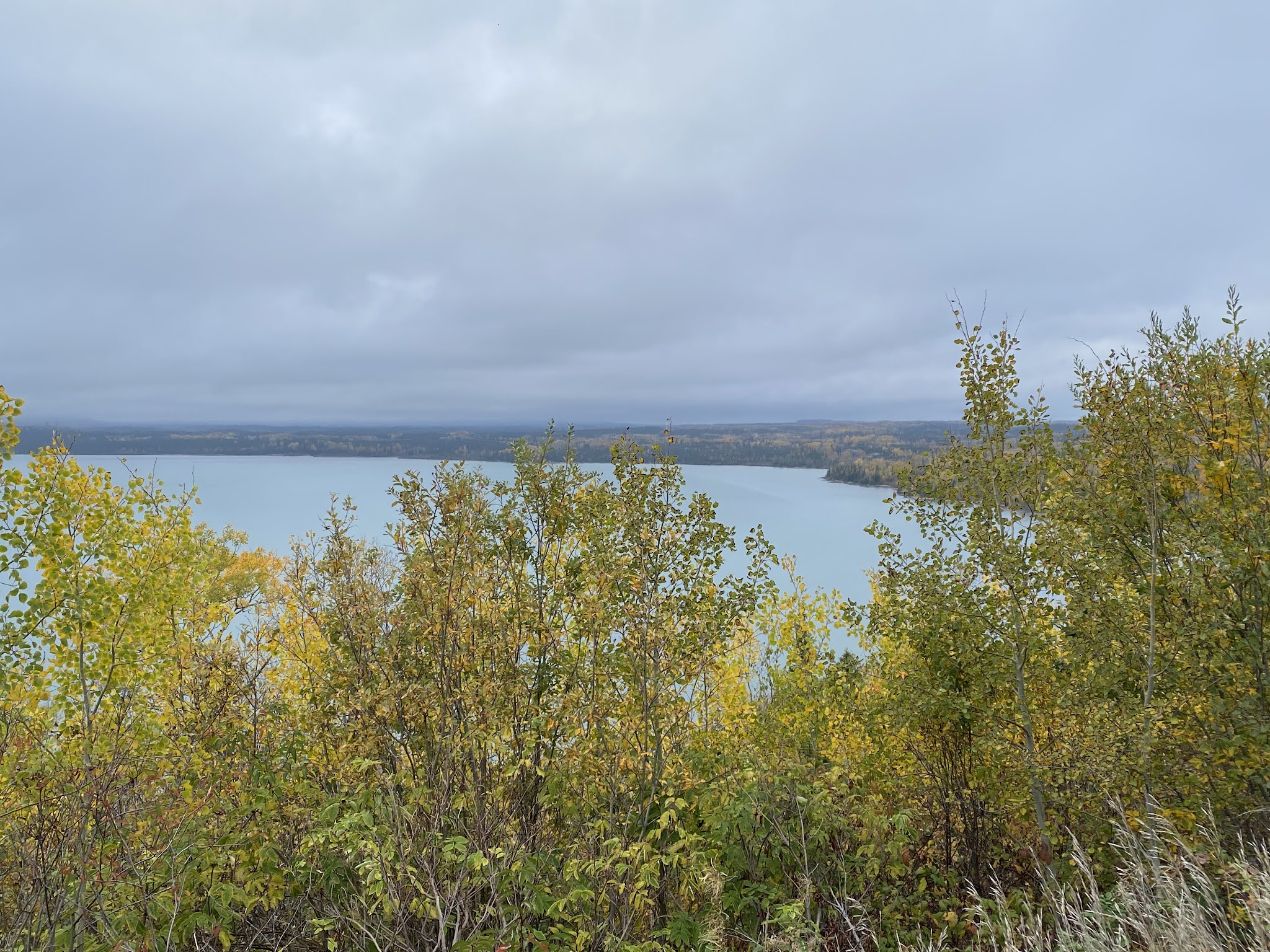
The Pic River


Aguasabon Falls near Terrace Bay. More on this later as I’m planning to overnight in Terrace Bay on my way home…and hopefully the weather might be a bit more cooperative.

A cloudy, foggy day looking over Lake Superior.


As you can see, I didn’t see much of the scenery today…I was more focused on making sure I stayed between the white and yellow lines!


Obviously not clear, but a little bit less foggy as I approached Thunder Bay and here I will stay for the next few days.
No comments:
Post a Comment