The Labrador coastal road that I had been travelling turns inland past Mary's Harbour and does actually go all the way to Happy Valley-Goose Bay...and other than flying, it's the only way to get there. It's about 500kms, with over 400kms of that being unpaved, and by all accounts, a pretty rough road. Although I'm sure I would have seen some lovely scenery, I was in a rental vehicle, and also travelling on my own, so I decided to pass on doing that 'little' stretch of road and so I returned again along the Labrador coastal road.
This time though I thought you might like to see a few photos of what was on the other side of the road - the inland side, away from the coast and all the unique little fishing villages.
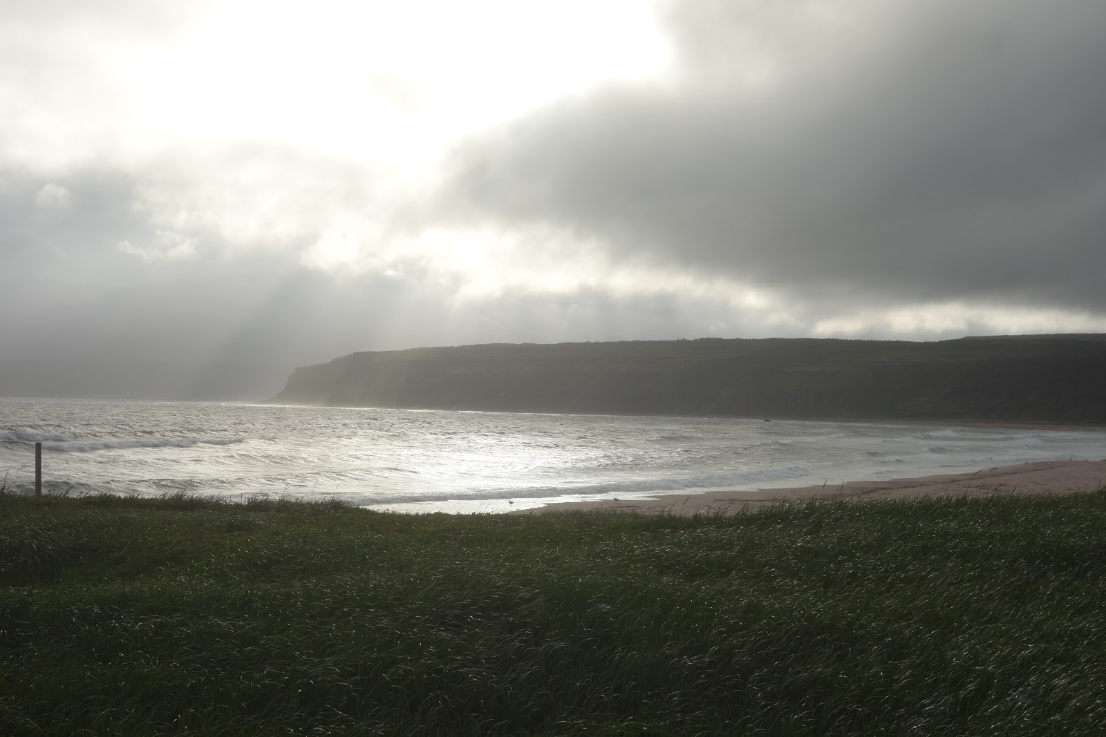
It was a rather grey and foggy day today, but every now and then the sun would break through
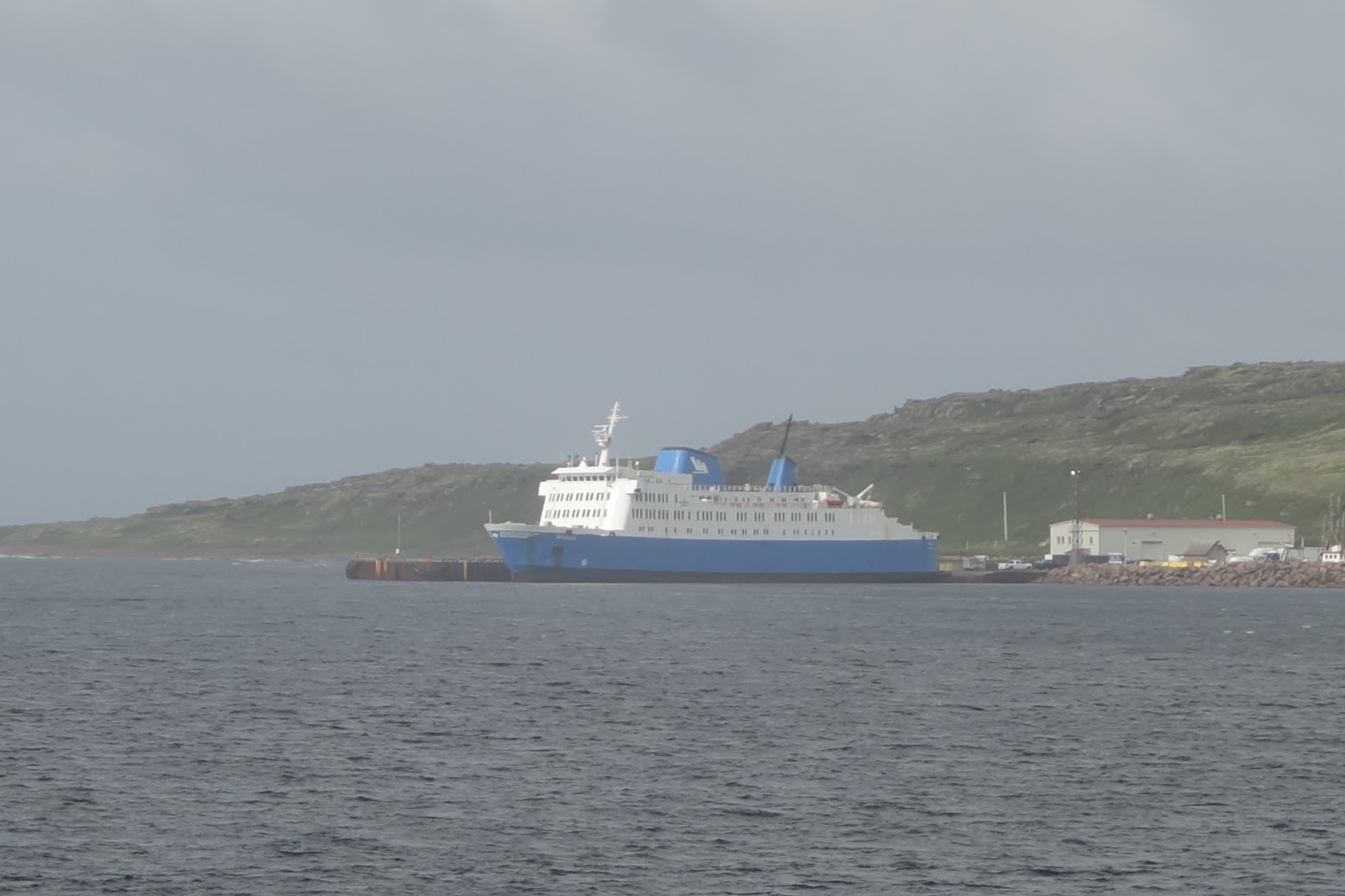
Back again to Blanc Sablon where this time the ferry was in port here
Now if anyone has looked at a map of this area, you will see that the Labrador coast road actually extends further along into Quebec, and then on a map it just sort of ends. (?) Although I know the purpose of my trip was really Labrador, given that I figured chances are high I wasn't going to be back in this part of the world again any time soon, I thought I'd better take advantage and check out this little part of the world in Quebec too.
This little section of road is called La Route Chicoutai (Chicoutai Road) and it is a section of road a little less than 100kms long. There are some gorgeous panoramic views along the coastline of the Atlantic Ocean, leading into the Gulf of the St. Lawrence. It is the eastern-most section of Quebec's highway #138.
The Blanc Sablon municipality is comprised of three small communities: Blanc Sablon, Lourdes-de-Blanc-Sablon and Brador Bay.
Blanc-Sablon itself is the easternmost community in Le Golfe-du-Saint Laurent community, and with a population in the region of a little over 1000, it is the most populous community along this stretch of roadway.
The area was known to early European explorers who may have named it after the fine white sand (blanc means "white", whereas sablon is the diminutive form of sable, meaning "sand"). Or it may be named after Blancs-Sablons Cove in Saint-Malo, home town of Jacques Cartier, who landed here in 1534 and set up a cross near the current site of Lourdes-de-Blanc-Sablon.
During the 16th and 17th centuries, Basque and Portuguese fishermen seasonally frequented the area. Permanent settlement did not begin until the 19th century with the arrival of French-Canadian, Acadians, and Jersey settlers. In 1858 the Mission of Longue-Pointe-de-Blanc-Sablon was established and took the name Lourdes-de-Blanc-Sablon or Notre-Dame-de-Lourdes at the end of the 19th century.
Located up on a hill and visible from the village, a wooden statue of the Madonna, carved in France, was erected here in 1916.
The Madonna monument, with the stations of the cross at the bottom of the hill. Also at the bottom of the hill is a "fishermens" rosary
Baie-de-Brador (Brador, or Brador Bay), was known in the 18th century as Fort Pontchartrain and Phelipeaux Bay, and its current name is the shortened form of Labrador. In French, the syllable la is a definite article, and in documents from the 17th and 18th century, this syllable was considered as such and separated from the rest of the name.
The Brador River flows into empties into the Gulf here, with a neat little waterfall accessible along a short walking trail.
The Brador Falls emptying out into the ocean at Brador Bay
An incredibly scenic part of the drive was just outside Brador, through impressive boulder fields from the retreat of glacier during the last ice age. I wasn't expecting this along the drive at all!
Middle Bay is the location of another early Basque whaling site. The Basque whalers spent much of their time on their ships; fishing, eating and sleeping aboard however, they processed their catch ashore. Archaeologists have found evidence of their activities along the shore of Middle Bay. Middle Bay is the smallest village along this route, founded in 1849, with a current population of approximately 30.
Walking along the beach at Middle Bay
Along the bay a little bit from the village is a cluster of cabins (quite clearly used by fishermen), and the fish plant and wharf. It is in this area that archaeologists found the remains of an old Basque whaling station.
While hiking the trail out to the old whaling station again I was struck by the huge variety of flora that was growing in this area, including a couple of local berries.
Bakeapples, or cloud berries - complete with a sea urchin (?)
Partridge Berries
It was my lucky day - finally, a completely ripe bakeapple. It's not there now.
Located near the mouth of a world-class salmon fishing river by the same name, the village of Riviere-Saint Paul (St. Paul's River, population approximately 100) is one of the oldest settlements in the region. St. Paul's River's claim to fame is that it was the site of an invention the revolutionized the cod fishing industry in Eastern Canada. In 1871, Massachusetts-born William Henry Whiteley invented the cod trap while running a substantial cod and salmon fishing operation on an island just off the coast from St. Paul's River.
The village of St. Paul's River
And St. Paul's River
A pull-off spot with a beautiful view of the village of St. Paul's river and the coastal landscape
Vieux-Fort (Old Fort, population approximately 225) is protected by offshore islands in inland hills, and it provided a perfect port for early European fishing fleets. Jacques Cartier landed here during his first voyage to North America in 1534.
The most amazing thing about Old Fort is, as I said it looks on a map, the road just ends here...and it does. If you were to drive any further you'd be in the water at the mouth of the Gulf of St. Lawrence.
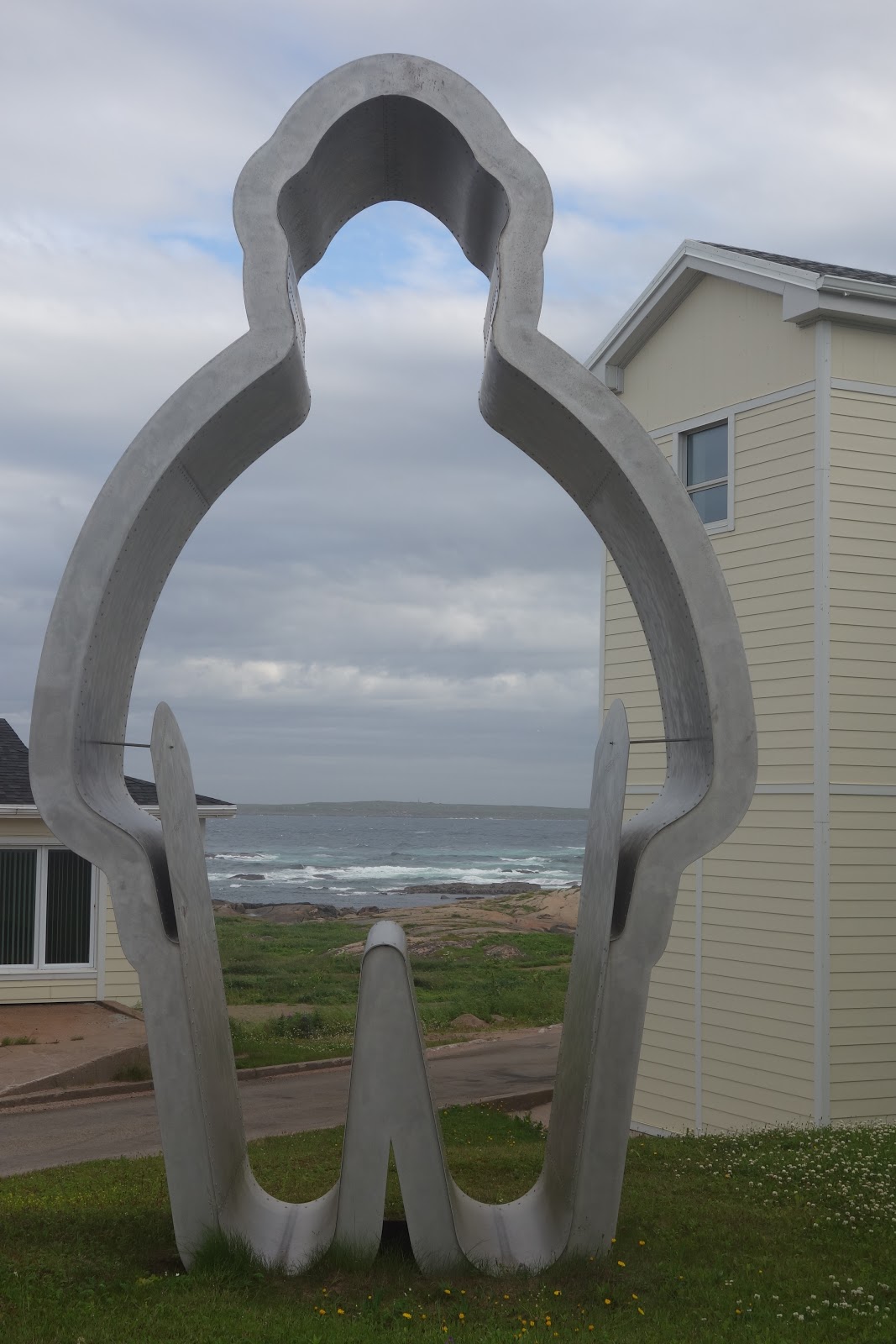
At the end of my day of travel, passing again through Blanc Sablon, as I had no choice but to return again the exact same way, I noticed this very cute statue: