The Ausable Bayfield Conservation Authority purchased Bannockburn Conservation Area in 1973 to protect the river valley and provide habitat for wildlife. This 25-hectare (62-acre) conservation area is open year-round and has six different natural communities: wet meadow; eastern white cedar forest; Bannockburn River and Walden Creek; deciduous forest; old field and mixed scrub; and marsh.
Right at the beginning of this hike you cross Walden Creek which is often seasonally dry but is also an important cold water trout stream. It was definitely not dry today though, not after all the rain we’ve had in the past couple of weeks!


And not much farther along is the Bannockburn River which drains more than 210 square kilometres of land and is the largest branch of the Bayfield River which is just one kilometre downstream from here.


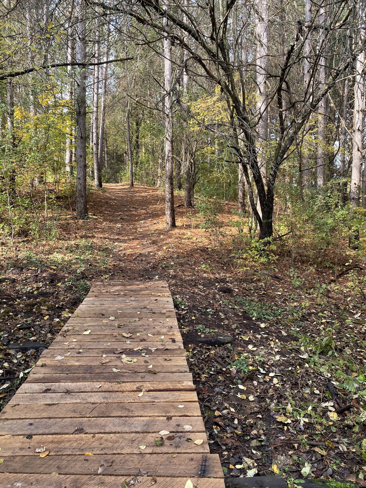
I’m glad there was a little bridge to walk over (above) and not the tree roots (below). A few more leaves though and I might not have been able to find the little bridge.


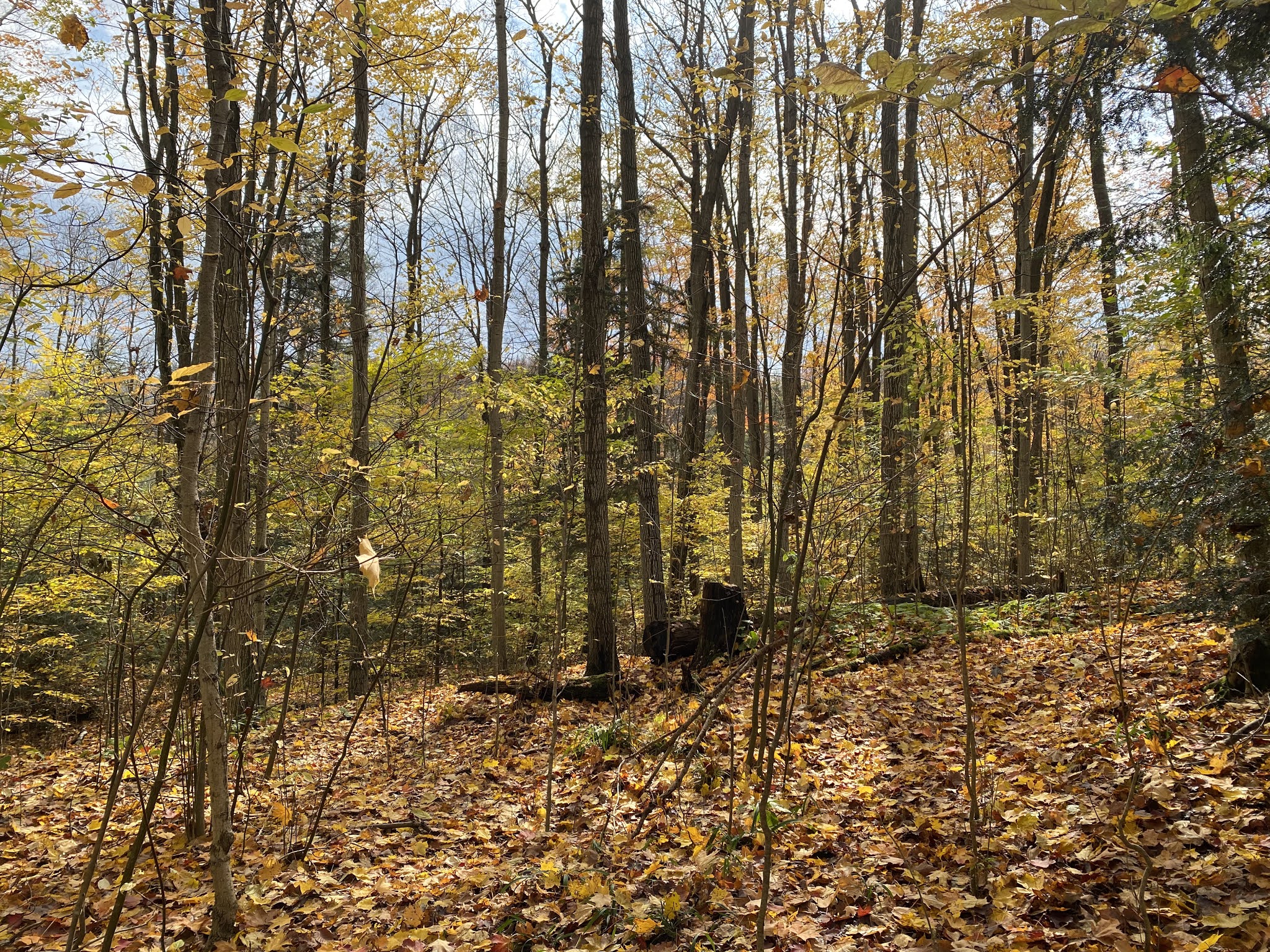
Pine needles on the ground one minute - and leaves the very next.


Baird’s Cemetery is not far away from Bannockburn and in some ways seems like it’s in the middle of nowhere, but it has been serving the local community since 1880.


Driving back to Bayfield I crossed over both the Bannockburn River again, and the Bayfield River.

Bannockburn River


Bayfield River

No comments:
Post a Comment