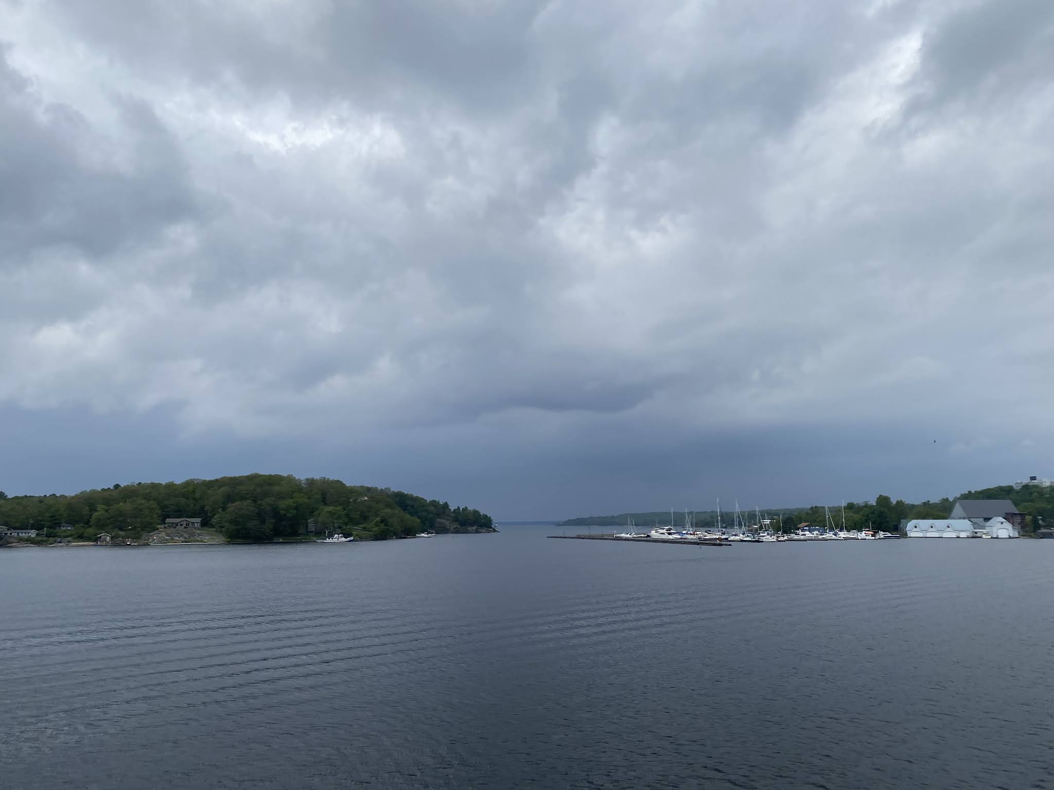
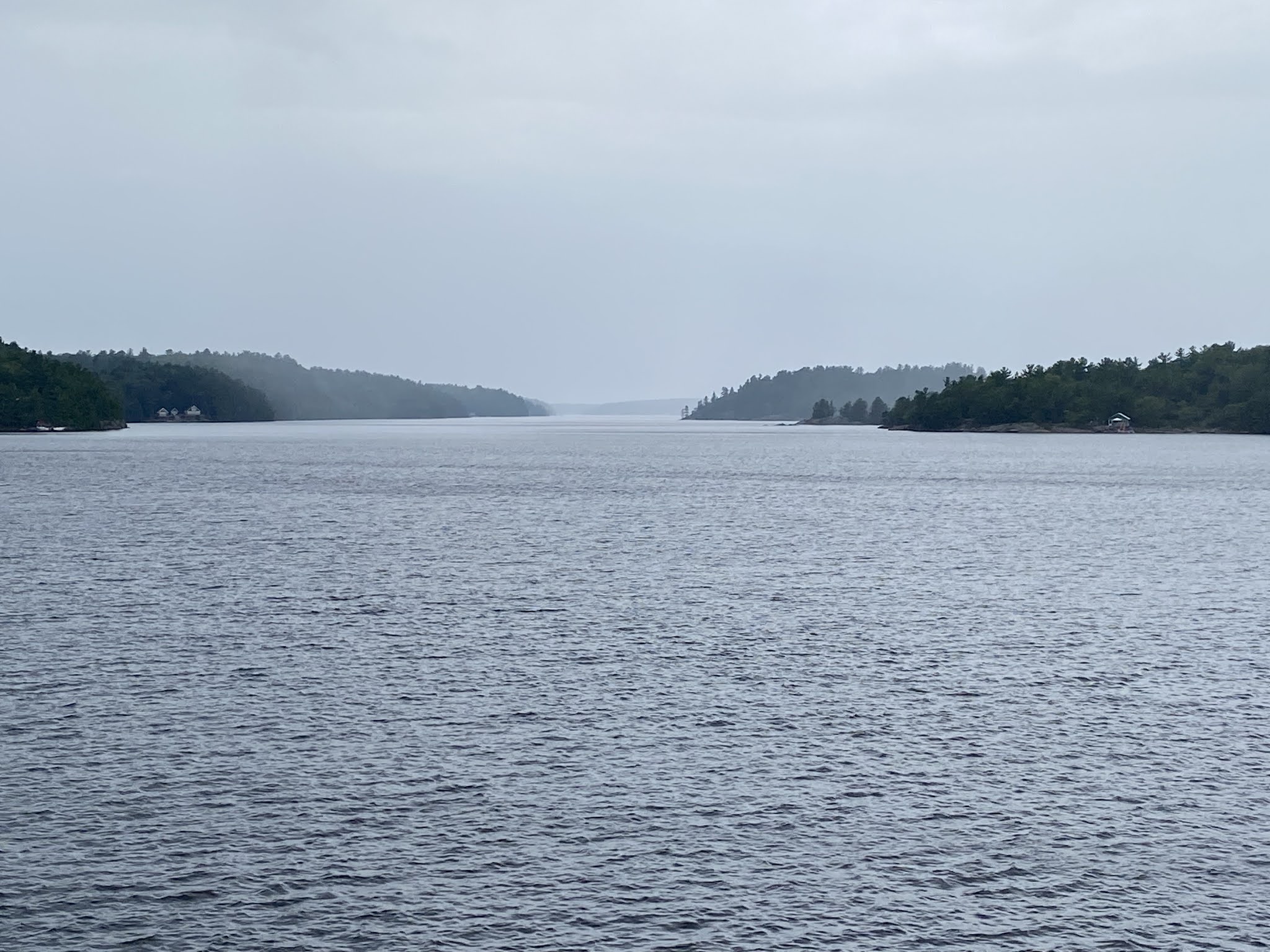
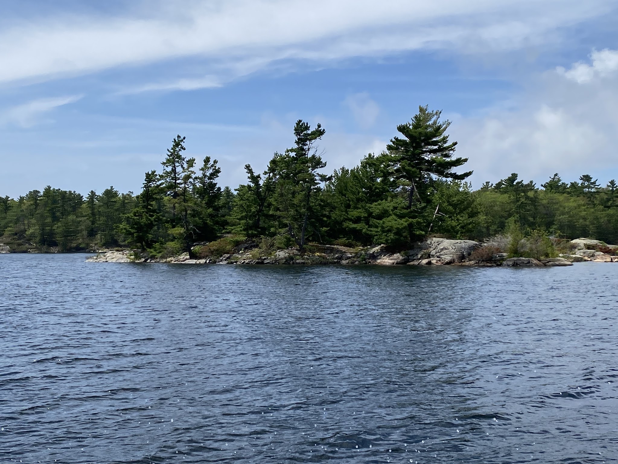
Eastern Georgian Bay is part of the southern edge of the Canadian Shield, granite bedrock exposed by the glaciers at the end of the last ice age, about 11,000 years ago. The granite rock formations and windswept eastern white pine are characteristic of the island and much of the shoreline of the bay. The rugged beauty of the area inspired landscapes by artists of the Group of Seven. There are tens of thousands of islands in Georgian Bay. Most of the islands are along the east side of the bay and are collectively known as the “Thirty Thousand Islands”. In 2004, the Georgian Bay Littoral was declared a Biosphere Reserve by UNESCO.
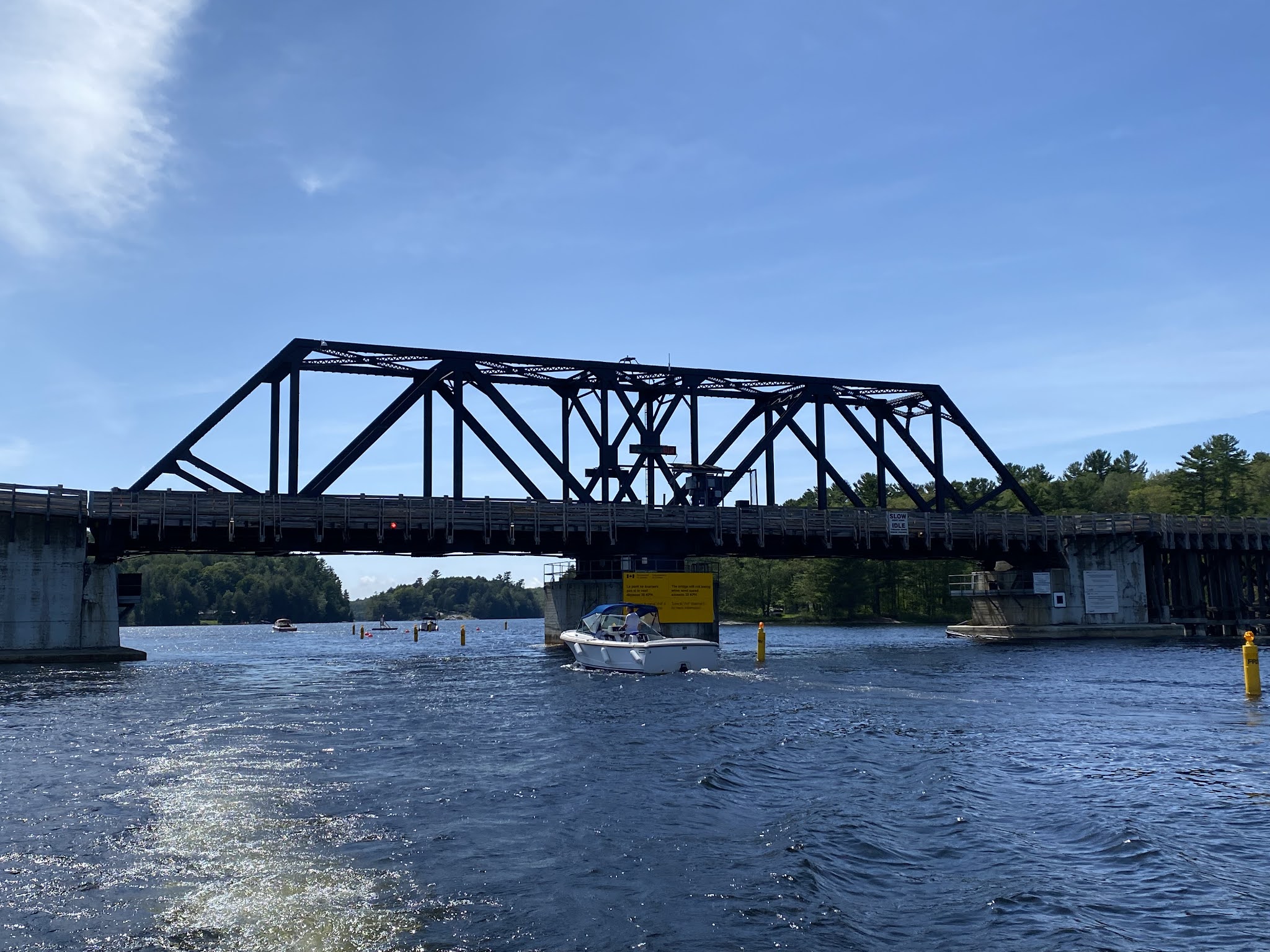
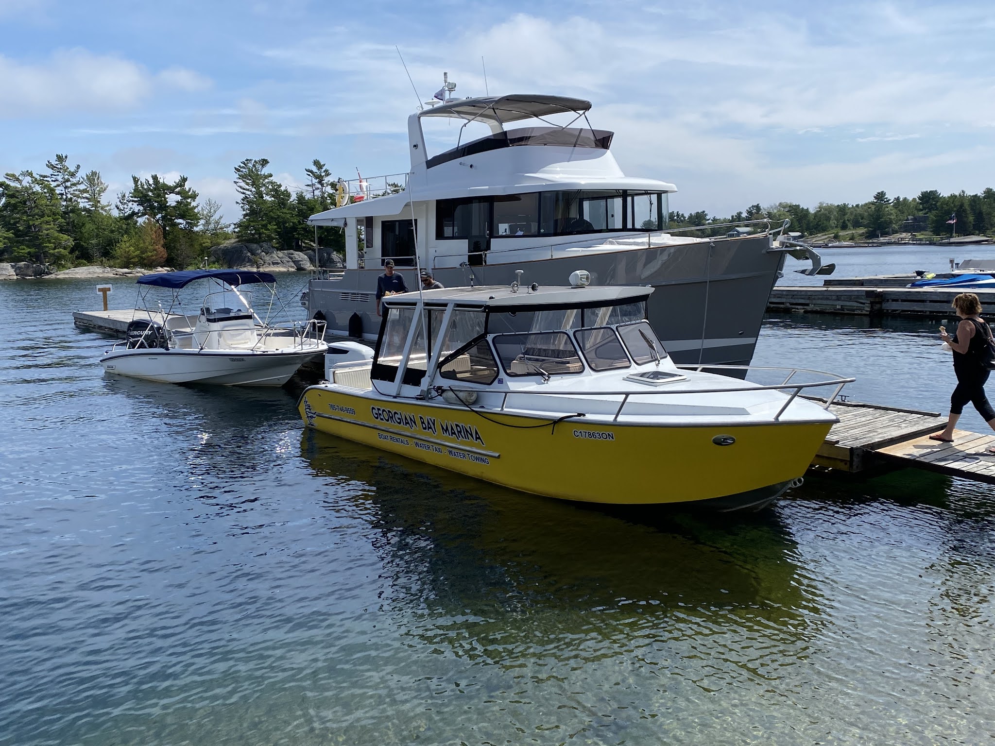
This week I was fortunate enough to be able to take two boat cruises out in the bay. The first was a commercial boat tour, the second was with my friends in a water taxi. A mix of weather both days - cloudy periods, some rain, and then the sun would come out. I’ll pick and choose from the many photos I took on both trips and hopefully be able to show off the beauty of that area.


No comments:
Post a Comment